Stage 1: Route description

  • At the beach "Platja de Garbet" between Portbou and Llançà

Beautiful entry stage: Half-day hike to Llança

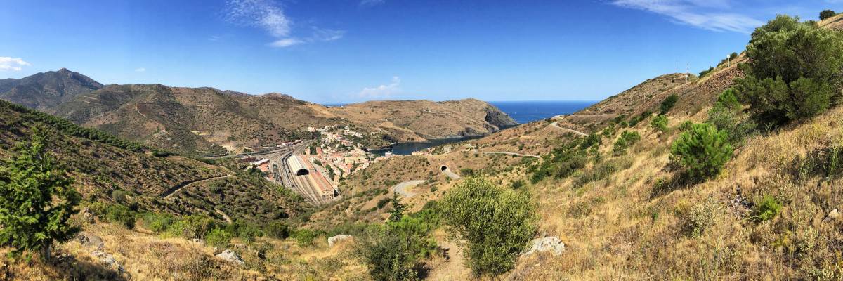
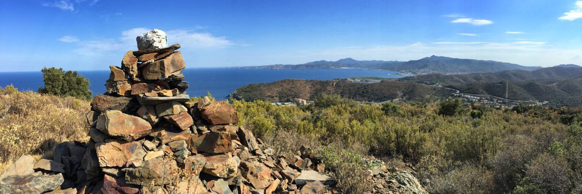
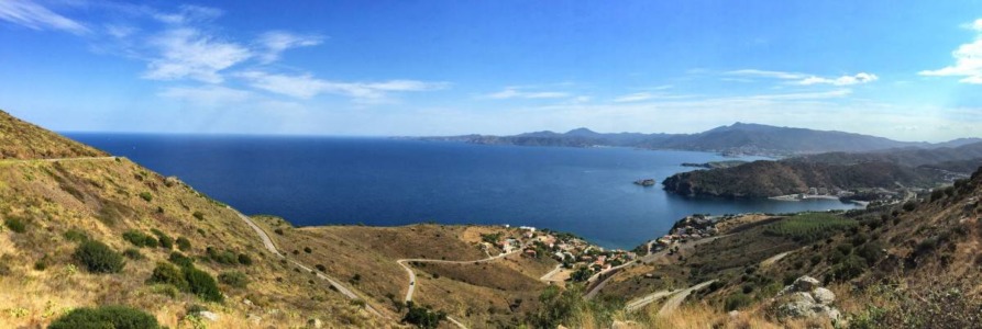
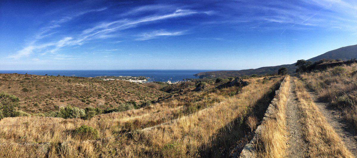
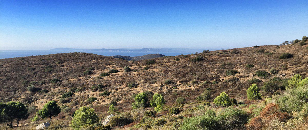
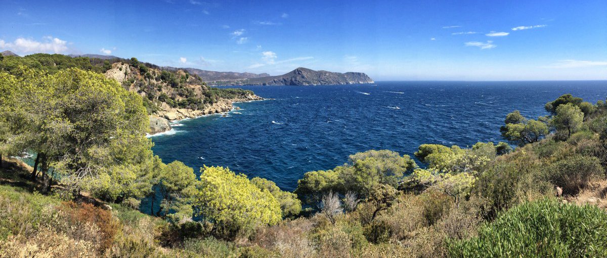
The first stage of the GR92 already offers some highlights: As soon as we have left Portbou with its many railway tracks behind us, a wonderful panorama of the coastal silhouette of Cap de Creus opens up to the hiker, which we will hike the next day. Stage 1 leads us through the small village of Colera and past beautiful bays such as the "Platja de Garbet" to Llança.

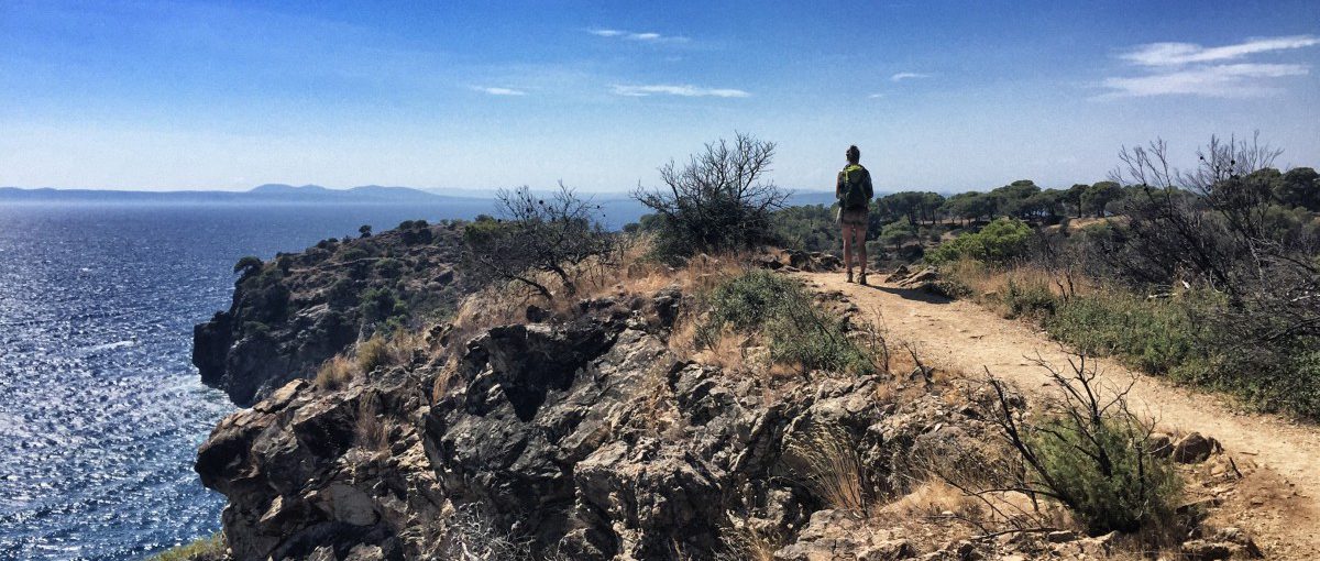
In Portbou, we start with an ascent to an altitude of 250 m, which gives us views of the Cap de Creus again and again for the next hour. The path runs parallel to the coast and finally leads us down to the sea via Colera. We hike directly along the coast to Llança and can swim in the wonderfully clear Mediterranean Sea on one of the sandy beaches for the first time during the hike.

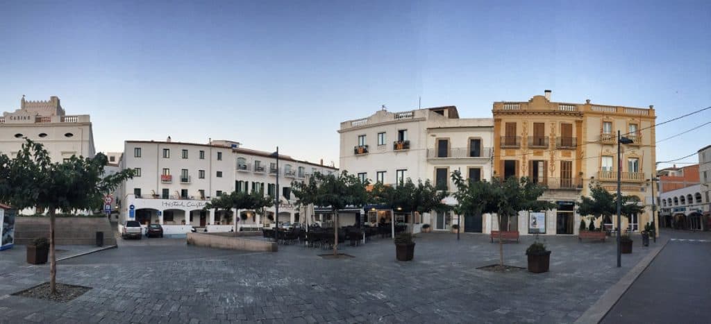
In Llança, you can either stay right in front of the sea, or choose accommodation in the historic centre (see recommendation for accommodation). The 20-minute diversions inland is definitely worth it, as the town has a beautiful medieval centre and is quite lively in the evenings thanks to numerous bars and restaurants.

Facts about stage 1

Altitude metres: 325 m ascent / 350 m descent
Route: 10 km
Duration: 4:00 h (without breaks)
Overnight stay: Hotels & Guesthouses in Llança

Route download - GR92 stage 1 (GPX file)

All other downloads can be found at Map material.

Picture gallery of stage 1


Recommended hotels and guesthouses

GR92 Stage 2: Map

Stage 2: Route description

  • Between Llançà and El Port de la Selva, the GR92 is more promenade than hiking trail

Across the Cap de Creus to picturesque Cadaqués

The second day's stage is already considerably longer and more strenuous than the first, so it is advisable to set off early. Today's tour consists of two very different parts: First, it goes along a very well-maintained pedestrian path, later along stony hiking trails.

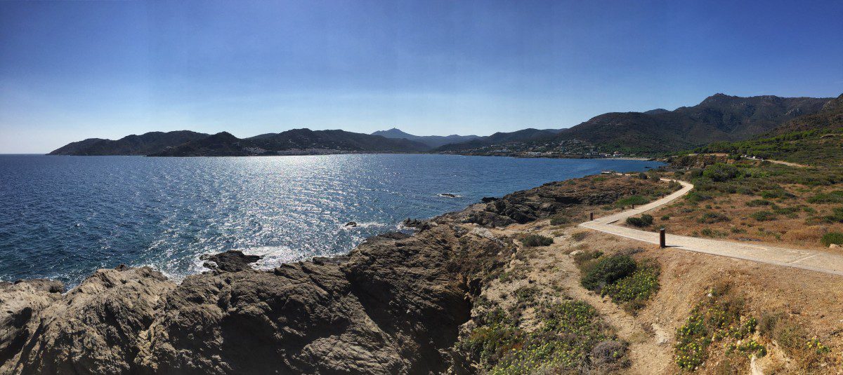
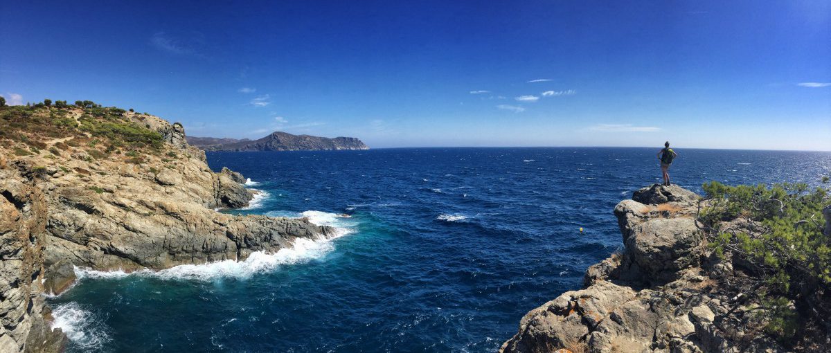
From Llança to El Port de la Selva, the first stop on the stage, we walk along a promenade directly on the coast. The good condition of the path allows us to enjoy the beautiful views of the cliffs, the dark blue sea and the white ships. Small bays with sandy beaches invite us to swim again and again. A small lighthouse marks the bay of El Port de la Selva, which we walk along to reach the sandy beach of the village. If you like, you can fortify yourself in the village for the second, much more strenuous part of today's stage.
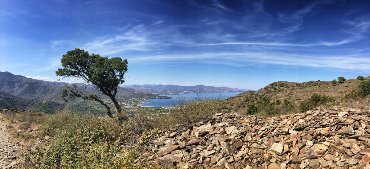
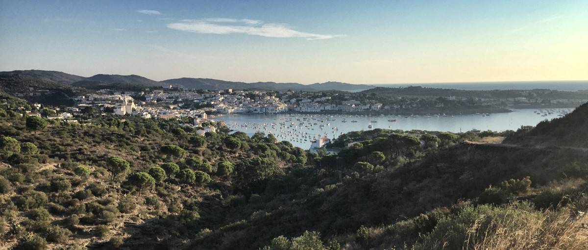
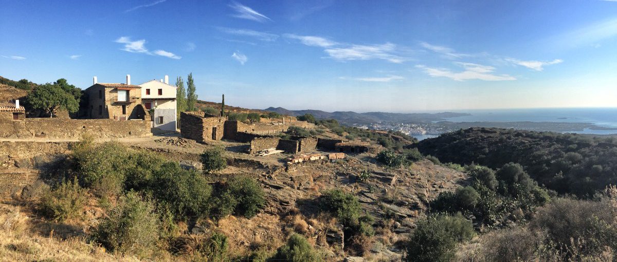
Now we leave the coast and hike a good distance uphill on stony paths into the hinterland. We cross the entire nature reserve of Cap de Creus - the paths offer little shade and especially in the hot summer months, sufficient sun protection and headgear are indispensable here. Soon we see the sea in the distance and enjoy the magnificent view. The descent to Cadaqués, our destination for today, is a bit long, but very beautiful. Cadaqués is probably the highlight of the Costa Brava hike: with its whitewashed houses, the town nestles picturesquely against the coast and is a popular tourist destination. There are numerous places to stay, but the prices are somewhat higher than in other places on the Costa Brava (See overnight accommodation on stage 2).

Facts about stage 2

Altitude metres: 475 m ascent / 475 m descent
Route: 19.5 km
Duration: 7:45 h (without breaks)
Overnight stay: Hotels and guesthouses in Cadaqués

Route download - GR92 stage 2 (GPX file)

All other downloads can be found at Map material.

Picture gallery for stage 2


Recommended hotels and guesthouses

GR92 Stage 3: Map

Stage 3: Route description

  • If the weather is good, it's worth getting up early: Cadaqués in the morning light

Beautiful coastal hiking trail to Roses or Empuriabrava

The area around Cadaqués is one of the most beautiful and natural parts of the Costa Brava. It is therefore well worth spending either two nights in Cadaqués, or an overnight stopover at the Hotel Cala Joncols (Hotel Cala Joncols). This hotel is located in a lonely bay in the middle of the nature reserve approximately in the middle of stage 3, which would then be divided into two days. So if you can and want to take your time, we recommend - in addition to a visit to Cadaqués itself - a detour to Portlligat, the neighbouring village of Cadaqués.  A museum has now been set up there in Salvador Dalí's former residence..

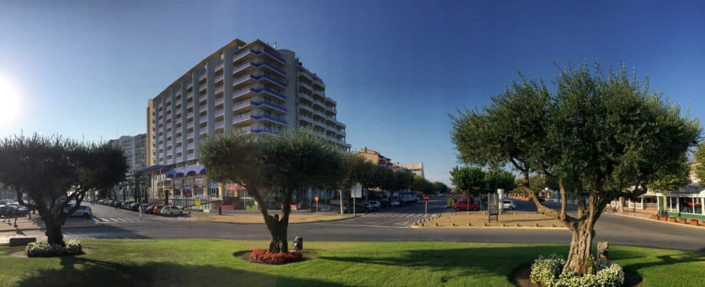
If you are planning stage 3 without a stopover at Hotel Cala Joncols, it is worth setting off early, because the route is long.  There are two different places to spend the nightThe harbour town of Roses (20,000 inhabitants) or Empuriabrava, which is also the starting point of our stage 4 and is completely geared towards tourism and is criss-crossed by artificial canals. No matter what you decide in the end: both places clearly lack charm compared to Cadaqués. If you want to spend the night in Empuriabrava, it is best to take a taxi from Roses (costs between 17 and 25 euros depending on the departure point, see www.costabravataxi.de or  www.taxisroses.com/de), as the whole route to Empuriabrava is almost impossible to do in one day (as an alternative to the taxi, there are also a bus connection from Roses).

The path leads us out of Cadaqués, first along the harbour basin, then there is an ascent where the view back to the white houses of Cadaqués is very worthwhile. In the following, the path runs through the beautiful nature reserve and soon meets the coast again. Until Roses, we walk directly along the coast and pass numerous picturesque bays with clear water. As soon as the first houses of Roses are visible, the beautiful part of the stage comes to an end. We recommend ending the hike here and having something to eat in one of the restaurants by the sea, refreshing yourself in the Mediterranean Sea, and then continuing the tour by taxi - either to the accommodation in Roses, or straight to Empuriabrava, from where the next stage continues.

Advice for hikers with a fear of heightsWe have received the following feedback from Patric:

Between Cala Calitjàs and Roses, the path leads directly along the slope. For some dreamlike, for some less so. We therefore walked along the Carretera a Montjoi from Cala Montjoi to the turn-off Carretera a Falconera. At the top we had a beautiful view of the bay of Roses. Via the Carretera a Falconera we came back to the recommended path before Roses at the beach Platja de l'Almadrava.


Facts about stage 3

Altitude metres: 550 m ascent / 550 m descent
Route: 21.5 km
Duration: 8:30 h (without breaks)
+ additional travel time to Empuriabrava if necessary (overnight option B)!
Overnight stay: Hotels and guesthouses in Roses or Empuriabrava

Route download - GR92 stage 3 (GPX file)

All other downloads can be found at Map material.

Picture gallery for stage 3


Recommended hotels and guesthouses